By Rick Price, Ph.D.
You probably learned in 7th grade geography that the three most important rivers of Europe are the Rhine, the Rhone, and the Danube – but that is likely the extent of your knowledge. Unfortunately for most Americans our knowledge understanding of world geography stopped with those kinds of simple, unconnected facts.
So this brief essay is both a refresher course on the importance of the Danube River. On our bicycle tour along the Danube you’ll learn that the Danube River is something like 2880 km (1780 miles) long. It is not only Europe’s longest river – more the twice the length of the Rhine and nearly three and a half times the length of the Rhone – but it flows through or forms the boundary with eight different countries.
The Danube rises in Germany’s Black Forest, flows through the heartland of Austria, forms the border with Austria and Slovakia, then Slovakia and Hungary, before flowing through Hungary, into Croatia and Serbia, to then form the boundary between Serbia and Romania, then Romania and Bulgaria, where it finally empties into the Black Sea.
Over the centuries the Danube has been less important as an economic corridor than the Rhone or the Rhine, but is has been one of the most significant cultural and historic boundaries in Europe. During Roman times the Danube River was the northernmost boundary of the Roman Empire and as late as 454 AD the full length of the Danube formed the boundary between a crumbling Roman Empire and the barbarian invaders from the steppe lands of Ukraine and Central Asia.
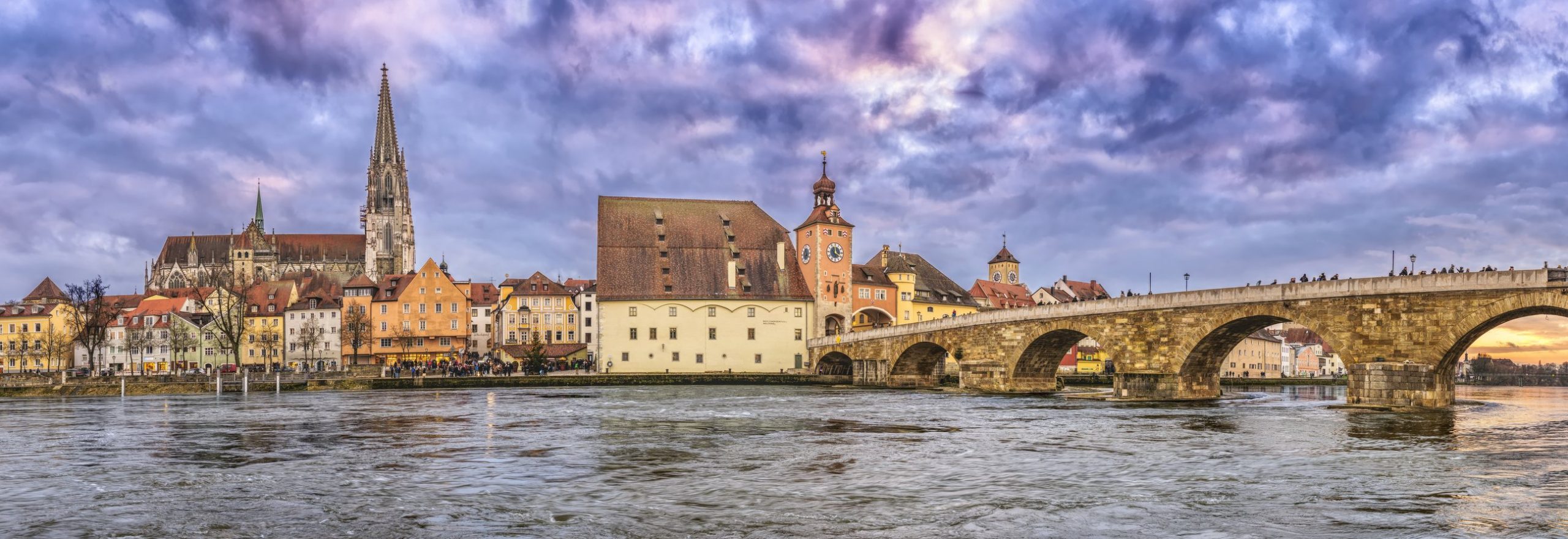
The Roman legacy bestowed upon the Danube its importance as a Medieval trade route, whether by boat on the river or along its banks. This role created important trade and transportation centers all along it, including Regensburg and Ulm in Germany, Linz and Vienna in Austria, Bratislava, the capital of Slovakia, Budapest, capital of Hungary, and Belgrade, the former capital of Yugoslavia and now the capital of Serbia. Beyond Belgrade, the Danube enters the “Iron Gates,” a great corridor through the Carpathian Mountains and the Balkan Mountains and then it spills into the plains of the ancient Roman province of Wallachia. Flooding has been a problem there since Roman times (and still is) – because of the floods, no major cities developed on the Danube downstream of Belgrade. Bucharest, the capital of Romania, is 80 km (50 miles) uphill from the Danube, well protected from the spring floods.
Historically this trade corridor along the Danube gave rise to two major empires, the Austrian and Hungarian, which merged under Austria in the early 19th century, becoming the Austro-Hungarian Empire in 1867. Further downstream the flood-prone plains of Wallachia effectively formed a significant boundary between modern Romania and Bulgaria, allowing for a significant cultural boundary between these two regions. In fact, the lower Danube became a critical cultural border region between Austria and the Ottoman Empire. To this day Romania and Bulgaria reflect their respective and separate histories with Romania having a Romance language and Bulgaria demonstrating key historic affinities in architecture and religion with the Ottoman Turks.
A bicycle ride down the Danube River takes you through seven countries and at least as many language regions, not counting local dialects. You’ll experience fully four language families: Germanic, Western Slavic (Slovak, Croat, Bosnian, Serb and Bulgar), Hungarian (a family all its own), and Romance (Romanian, related to French, Italian and Spanish.)
Imagine the variety in food, architecture, and history that goes with each of these languages and cultures and you have a real panorama of two thousands years of European history as you travel the length of the Danube. Join us, won’t you?
Further Reading:
Danube (Panther) by Claudio Magris (Author) – A comprehensive history and travel book about the Danube by Italian scholar, Claudio Magris. Sometimes ponderous, in the style of Italian writers, it is worth a read BEFORE you depart. Don’t try to carry it with you!
